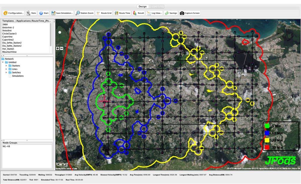
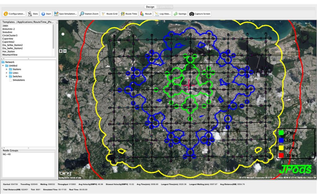
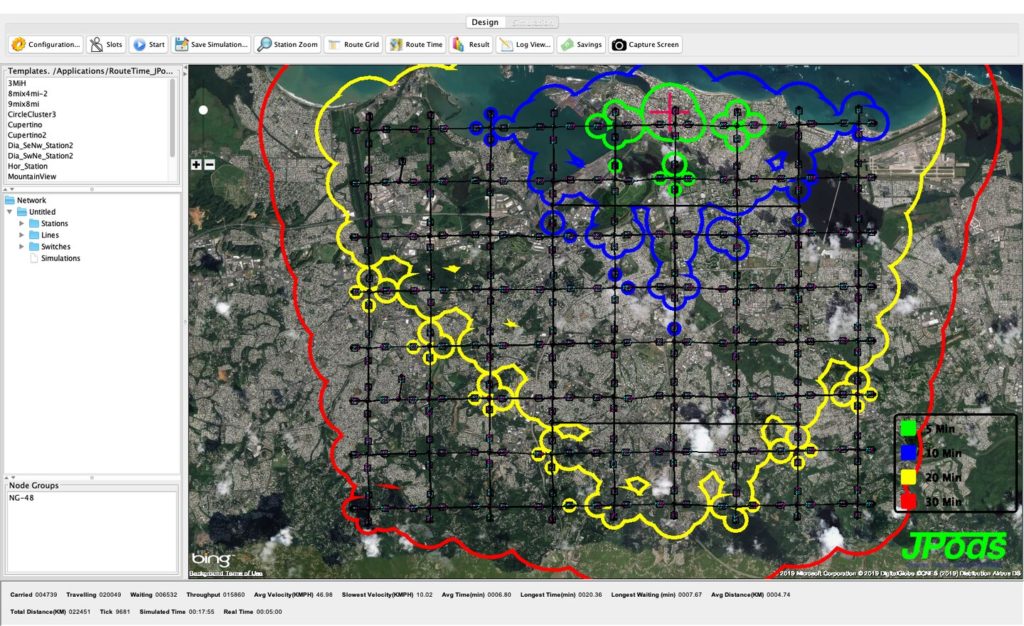
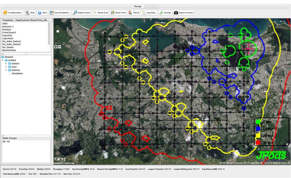
Example JPods network in Puerto Rico
Route-Time
Simulation of travel using JPods Route-Time™ software at a typical speed of 43 mph. Assuming you can walk there, from the Red Cross where you can walk-ride-walk are noted in circles around each station:
- Green in 5 minutes
- Blue in 10 minutes
- Yellow in 20 minutes
Approximation of what a network might look like
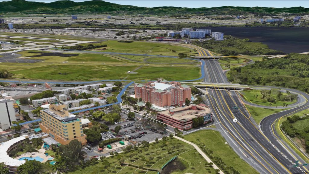
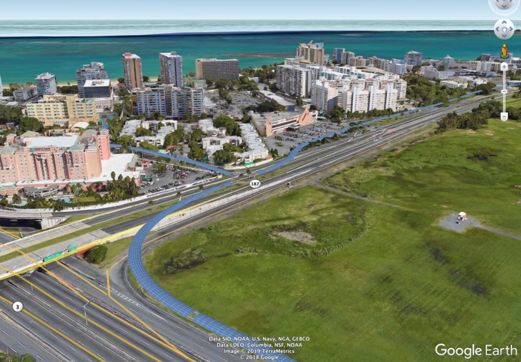
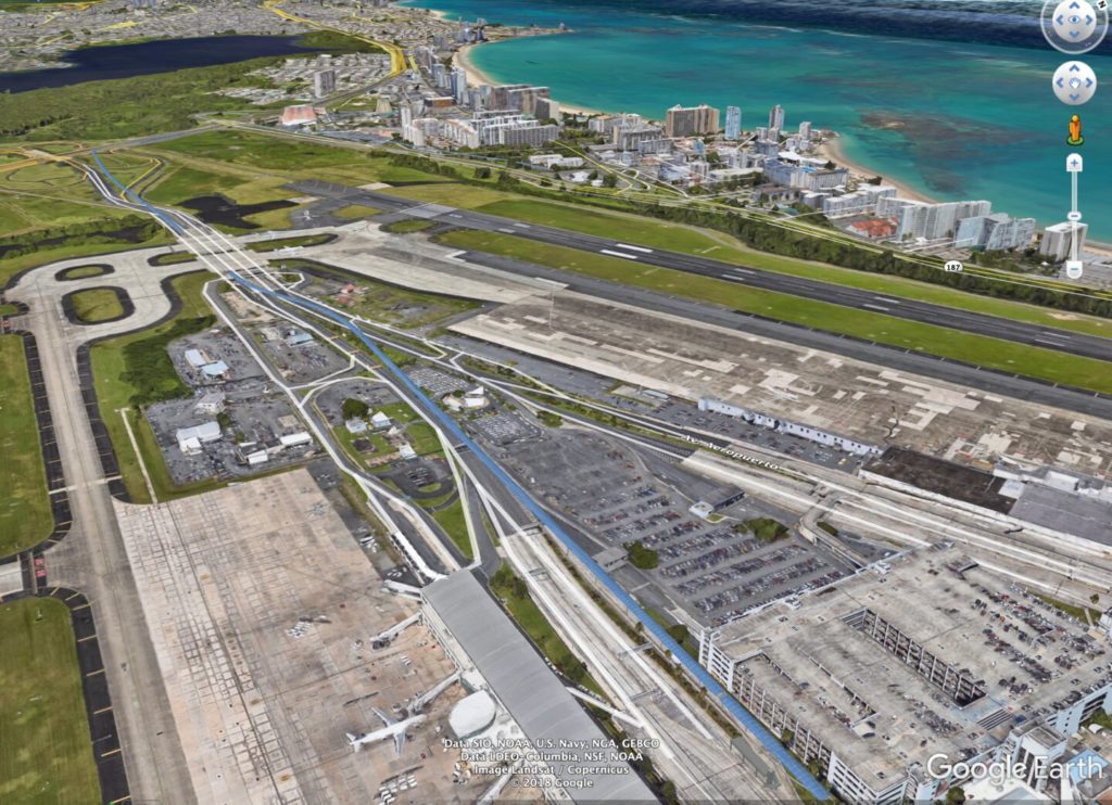
A 3-Minute summary of JPods
Modernizing PRT
Walter Cronkite covered Tricia Nixon opening the first digital transportation network on Oct. 24, 1972. The Morgantown PRT network has since delivered 150 million oil-free passenger-miles with only two minor injuries. Injuries on roads are 11,200 per million (link).
Problem: moving two tons to move a person
Solution: strive to move just the person
Networks will grow.
The 8×9-mile example network is not a real network. It is provided only to show approximate travel times as the JPods networks grow. A geographically accurate Route-Time layout will be created once there is an agreement on the 5X5 Standard of the Solar Mobility Act with governments. Anyone wanting to simulate networks may download JPods’ Route-Time software. Please share your ideas.
